On The Route of The Woodside Link
Shrubbery between Frogmore Road and Wheatfield Rd. The new road will carve right through this.
View from Wheatfield Rd. From this viewpoint, looking north east, a new access road will come from Wheatfield Rd to connect to the new road.

Same viewpoint as the last picture, looking north west.
An animal track leads approximately east away from the main dirt footpath between Frogmore and Wheatfield Roads. The new road will go here.

Tarmacced path between Frogmore and Wheatfield Rd. The new road will disect this path. A pelican crossing is to be constructed.

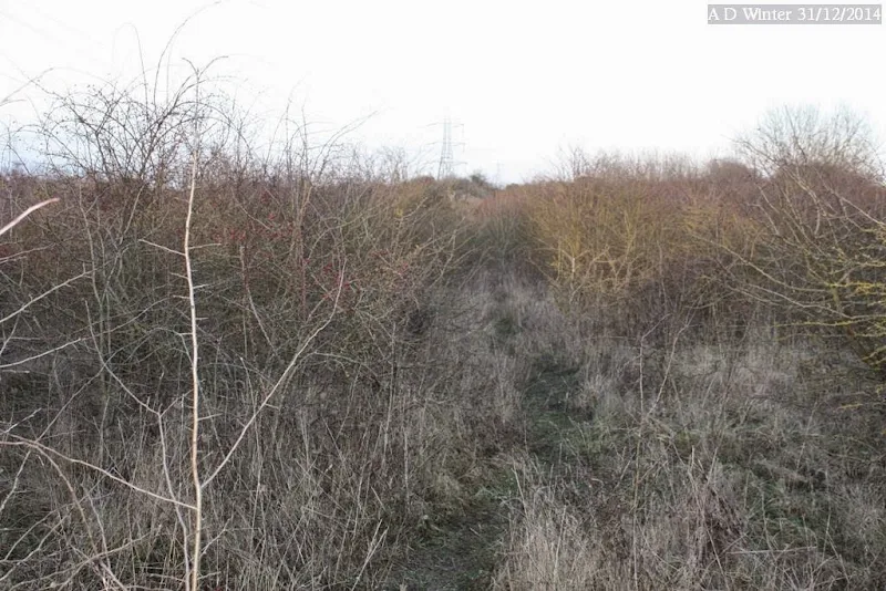
From the tarmacced path (above) take the dirt path approximately east, through the woodland. As I started off through this, I espied the distinctive brown feet of a fox.
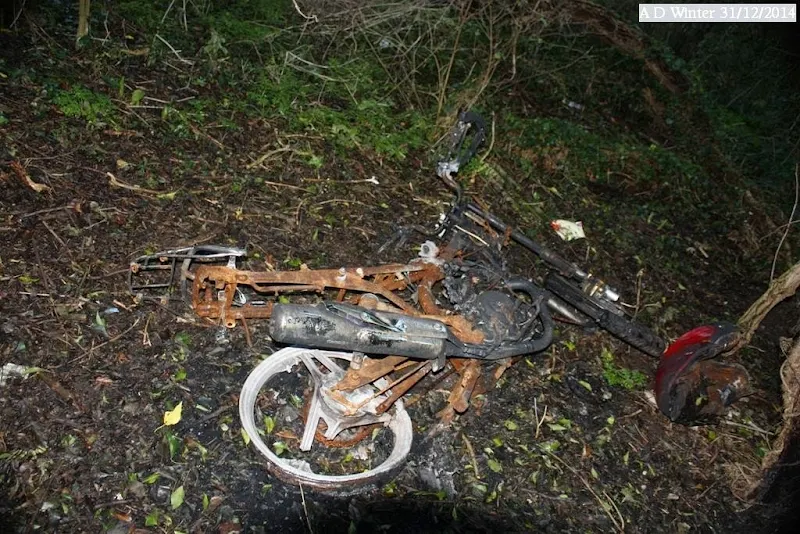
Continuing through the woodland I came across signs of feral human activity.

The fox was too quick for my noisy footsteps.
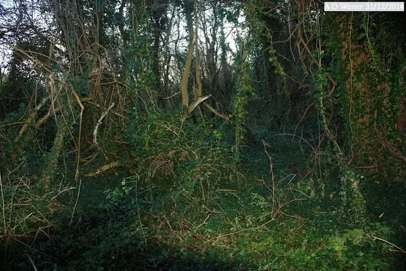
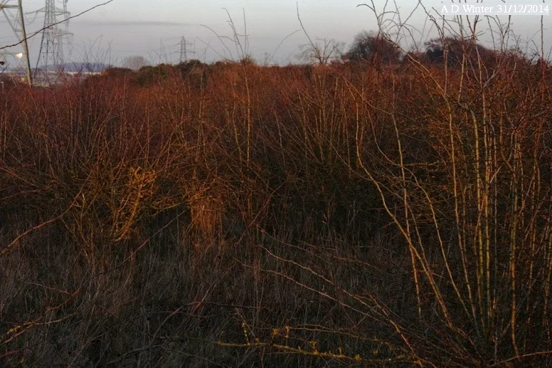
While a swathe will be cut through this woodland by the new road, some of it will remain. 
More of that dense stuff.Habitat, of course for wildlife. 

Who knows what secrets lie in yonder wood? 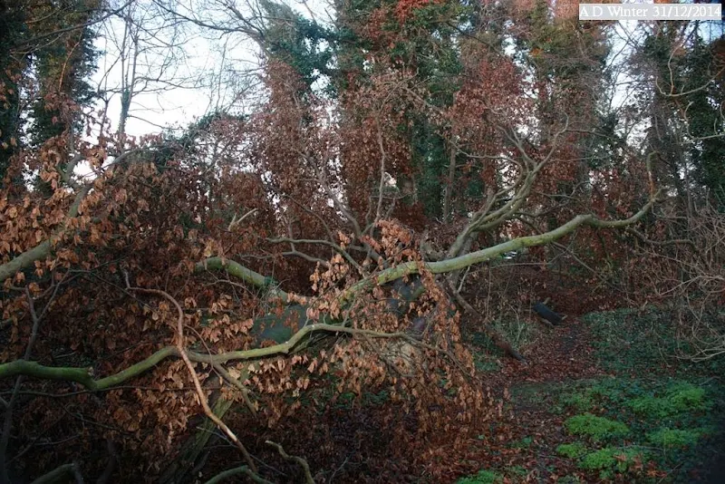
Rotting tree branches; insects to thrive upon. 
Emerging from the wood, the first glimpse of Houghton Brook. The brook will be re-routed for the new road. 
Looking east. The lampost is on the old buslink between Pastures Way and Parkside Drive. 
Looking north, the present Houghton Brook bridge over the buslink road between Pastures Way and Parkside Drive. 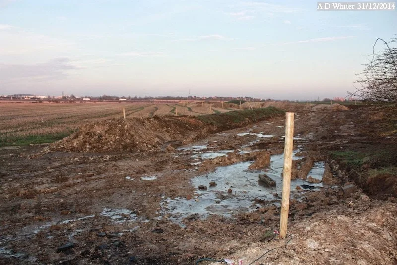
Looking east from the old buslink road, works have begun for the new road. 
The Houghton Brook has been cleared along its sides, but hooligans will be hooligans. 
Rubbish dumped near to side of the old buslink road. 
Rubbish dumped near to side of the old buslink road. 
View south down the old buslink road. Some of this is due to be retained as a cycle path. 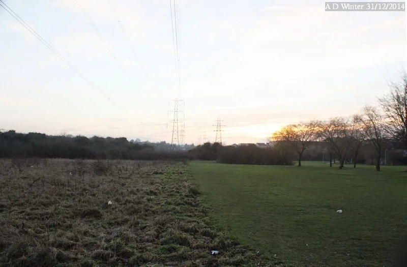
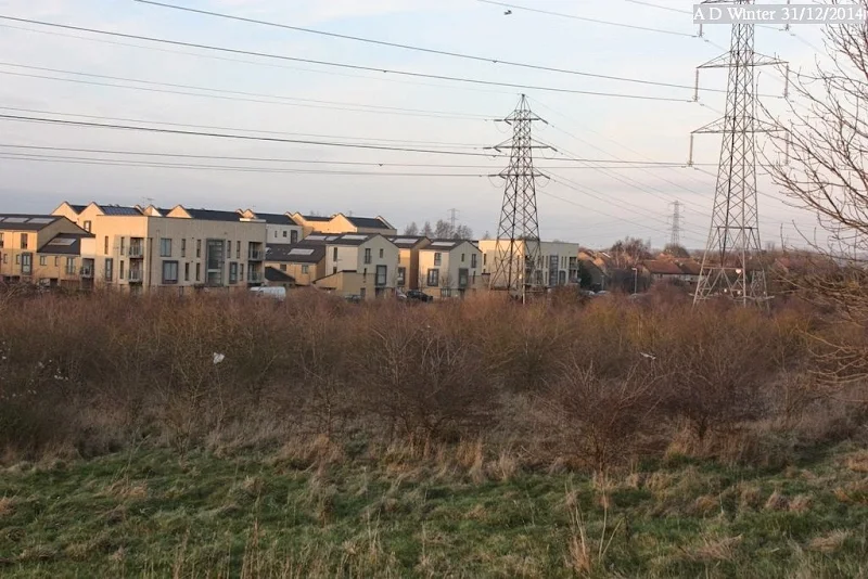
View west from the old buslink road. The new road will feature in this landscape, but the trees and grassland on the right will largely be retained and managed as an open space. 
View north-west from the old buslink road. This view will largely be unaffected. 
View north, up the old buslink road. The hedgerow is due to be retained. 
View south, down the old buslink road. The new road will connect to Parkside Drive two thirds up the height of this picture. 
View west from the old buslink road. The new road will be very visible in the area of this picture. 
Current view east towards M1 from the old buslink road. 
Slightly more to the rightof the previous view, the hedge on the right being by the side of the Houghton Brook. 
Some views of Chalton Cross farm. The cream coloured house wil be saved, but the larges sheds to the right of the lower right image are right in the path of the planned route taking traffic to the M1 motorway! 
Some more views of Chalton Cross farm. The lower right image is actually going to be the new slip road from the M1 motorway northbound. |
Also on Facebook at https://www.facebook.com/media/set/?set=a.10152546092142944&type=3&l=b5c16d4f3e