Search This Blog

06 April 2015

Houghton Regis Chalk Pit in Spring

Houghton Regis Chalk Pit in Spring

Houghton Regis Chalk Pit is a Site of Special Scientific Interest (SSSI).
Locate on Google Maps

Access is via Lake View, Houghton Road, LU5 5AZ. A footpath runs from the west of Lake View between the fishing lake and the chalk pit. About 200mtrs along the footpath is the pedestrian kissing gate entrance to the Chalk Pit. Wear boots, as it can be muddy. There are no facilities for toilets and access for disabled is very difficult. 

The site is managed by Wildlife Trusts on behalf of Bovis Homes. A five-year Management Plan expiring in 2016 was part of the agreement for Tilia Park development.

Find out more about Wildlife Trust here: http://www.wildlifebcn.org/


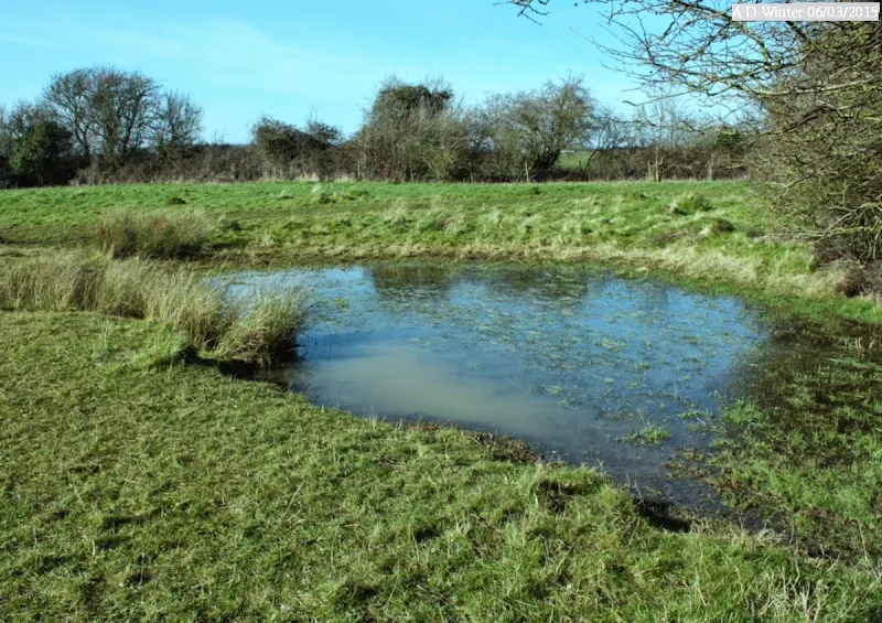
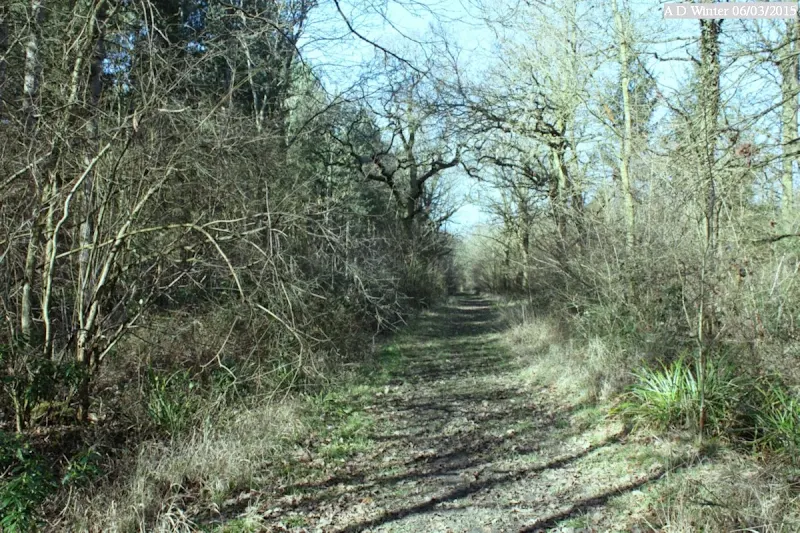
On today's spring walk, the first thing of interest I saw was this frog. (Yellow primroses were out too, but to me, they're just common garden plants!)


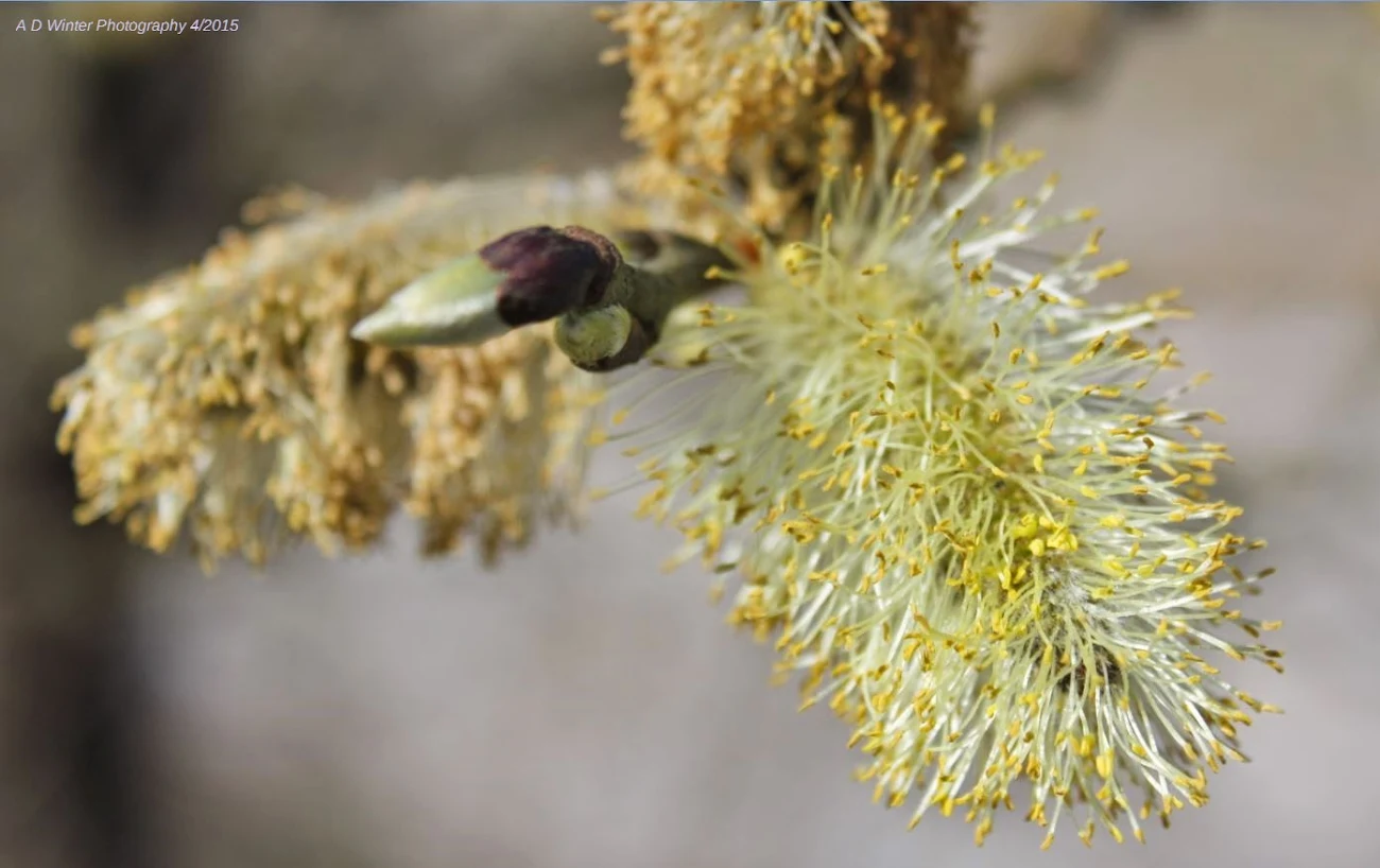
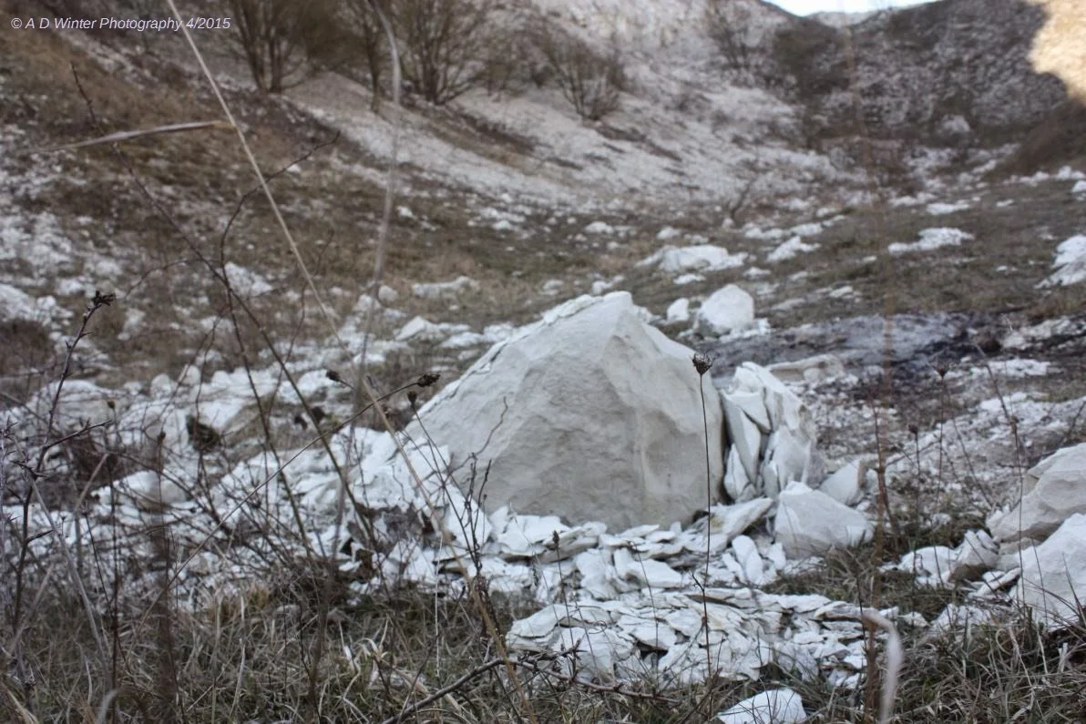
It doesn't matter how many times I walk around the Chalk Pit, it never seizes to make me think what a beautiful and amazing place it is, and it's right here on the edge of my town, just waiting for the moment when you need to unwind and take it all in in its great majesty.


So this is a bit cleared. The wildlife management team have evidentially been busy, clearing areas to encourage newer growths.


One of three ponds in the pit at the moment.
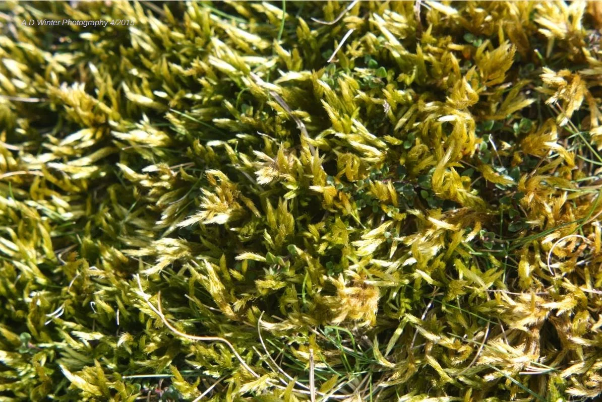
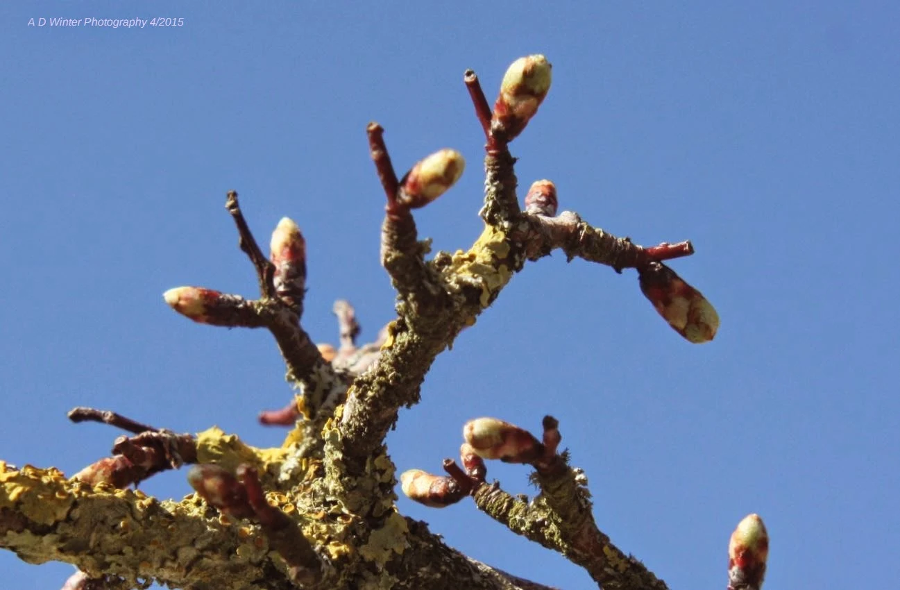


06 March 2015

Maulden Church Meadow SSSI

Maulden Church Meadow SSSI

Maulden Church Meadow is an ancient pasture designated by the Nature Conservancy as a Site of Special Scientific Interest (SSSI).
Locate on Google Maps Natural England: Local Reserve information
Where to park: See Let's Go Guide


St Mary the Virgin, Maulden. Car park on private road nearby for access to the Meadow.


Path to Maulden Wood from the Meadow SSSI east towards the large wood.


View to the south


View to the north. Bridle path leads north along edge of wood.


20 February 2015

On The Route Of The #WoodsideLink Part 2: February 2015

On The Route of The Woodside Link


Fencing to keep the public off the roadway during construction. Tarmacced path between Frogmore and Wheatfield Rd. The new road will dissect this path. A pelican crossing is to be constructed.

Cleared for the new road.


Scrub.


Fenced. To keep public off the roadworks.


Towards Frogmore Rd.


Towards Sandringham Drive


Towards Frogmore Road


Towards Sandringham Drive


Towards Windsor Drive


Towards Sandringham Drive


West from bus link


The diamond shape pylon area by Parkside Drive disused buslink carries the 132kV cables which will be moved underground (work in progress) and when this has been completed the diamond towers will be removed. Expected to be completed by early 2016.


Part One: http://adwphotos.blogspot.co.uk/2015/02/on-route-of-woodsidelink.html
Also on Facebook at https://www.facebook.com/media/set/?set=a.10152546092142944&type=3&l=b5c16d4f3e